PR – TF 35. La Caldera – Mamio – La Caldera.
Trail details: Length: 5.7 km. Estimated duration: 2 hours, 30 minutes. Degree of difficulty: Low. Accumulated ascent and descent slope: 215.10.
To be taken into consideration:
Remember that along 2 km. this path is shared with a bicycle and horse route, and although hikers enjoy preference, you must walk with caution as it is a section where several uses converge.
How to get there:
Access to the La Caldera recreational area: TF-21 road, deviation at kilometre 16.4
Connection with other trails: GR 131 and SL 81.
Description of the route:
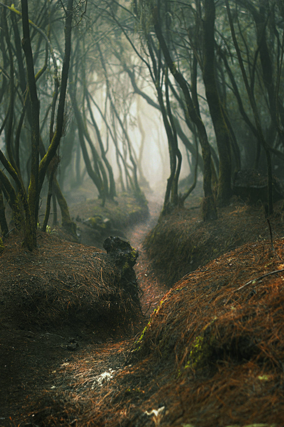
This circular trail begins and ends at the La Caldera recreational area parking lot. From this point, it crosses part of the Mamio forest track, which is wide and with a smooth slope. This section coincides with the GR 131 Long Trail path and the BC nº1 bicycle and horse route until it reaches the building known as ‘Casa del Agua’ (Water House). From this point on, the route continues to the left and descends towards the Mamio urban area by a landscape full of farms and cultivated plots. Later on it climbs next to the Llanos ravine heading towards the general road and, after passing next to the Aguamansa environmental centre , it enters the forest again to return to the La Caldera recreational area.
PR – TF 35.1. Casa del Agua – Pinolere.
Details of the trail: Length: 4.2 km. Estimated duration: 2 hours. Degree of difficulty: Medium. Accumulated ascent slope: 163.20 m. Accumulated descent slope: 605.32 m.
To take into consideration:
You should be cautious when walking by the Mamio forest trail (from the La Caldera recreational area to Llano de Los Corrales), because this whole section is shared with a bicycle and horse route, and although hikers enjoy preference, it is a section where several uses converge.
How to get there:
Access to the La Caldera recreational area: Road TF-21, deviation at km. 16.4. Access to Pinolere: Highway TF-21, deviation at km. 9.
Connection with other trails: GR 131.
Description of the route:
This derivation, which starts from the PR-TF 35, specifically at Casa del Agua (about 2 km away from the La Caldera recreational area), shares an initial section with the GR 131 Long Trail, but after 2 km. it diverts to the left and descends towards El Llano de Los Corrales. After passing by the Pinolere Ethnographic Museum, it reaches the square of the same name.
PR –TF 35.2. Ruta del Agua.
Details of the trail: Length: 1.9 km. Estimated duration: 2 hours. Degree of difficulty: Medium. Accumulated ascent slope: 275.62 m. Accumulated descent slope: 284.79 m.
To take into consideration:
This is a short path, but with uneven slopes, which runs to a large extent by narrow trails. Take extra precautions, especially when you meet other people on the way.
How to get there:
Access to the La Caldera recreational area: Road TF-21, deviation at km. 16.4.
Connection with other trails: GR 131.
Description of the route:
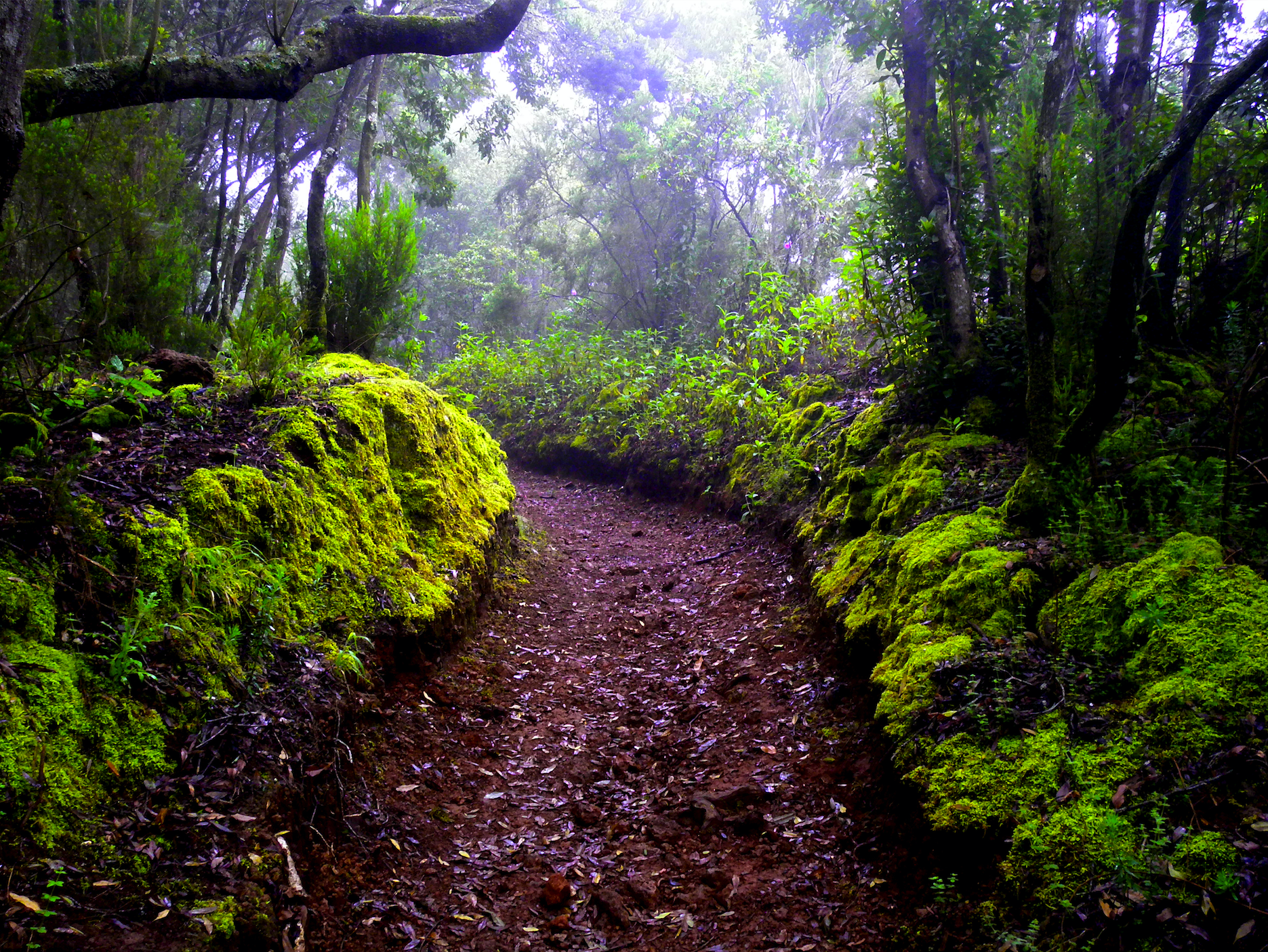
This variant of the PR-TF 35 starts at the Mamio track, about 2 km. away from the La Caldera recreational area. With a circular layout, the path runs alongside old constructions that were used for the extraction and diversion of water, this explains the origin of its name, even passing by an old aqueduct from 1863, and reaching La Casa del Agua, where it ends.
PR –TF 35.3 Llano de Los Corrales – Pinolere.
Trail details: Length: 2.7 km. Estimated duration: 1 hour 30 minutes. Degree of difficulty: Low. Accumulated ascent slope: 64.05 m. Accumulated descent slope: 495.5 m.
To take into consideration:
This trail runs alongside privately owned plots. Please be especially respectful and do not leave the marked trails at any time. On the other hand, you may find hives near the trail. In such case, be extra cautious.
How to get there:
Access to the La Caldera recreational area: Road TF-21, deviation at km. 16.4.
Access to Pinolere: Highway TF-21, deviation at km. 9.
Description of the route:
This trail is a derivation of the PR – TF 35.1, which starts from El Llano de Los Corrales (4.7 km away from the La Caldera recreational area), on the Mamio forest trail, and it offers another option to reach the Pinolere urban area, passing by various elements of ethnographic interest, such as the traditional barns of La Orotava
[unitegallery coronaforestal]